Skaftafell Hikes: 1–8 Hour Routes, Closure Alerts and Fox Hostel Tips
Skaftafell Hikes: 1–8 Hour Routes, Closure Alerts and Fox Hostel Tips

Skaftafell packs glacier views, waterfalls and mountain ridgelines into one compact trail network, so most visitors can find a route that fits their day. For an easy glacier viewpoint, pick Skaftafellsjökull (S1); for the single best all-around hike, choose the Svartifoss circuit (S2); for a shorter but steep challenge, go with Sjónarnípa (S5). Check park route pages and current conditions before you set out.
TL;DR:
- Most trails require over an hour to complete, making quick visits suitable only for the easiest routes like the Glacier trail (S1).
- Spring closures often affect the mountain routes (S3 and S4), so plan to visit them only after mid-June or check current conditions.
- The Sjónarnípa (S5) trail is more strenuous than it appears, with steep sections that demand extra time and effort despite its short length.
- Confirmation of trail and junction openness is necessary before attempting longer or connected routes, especially for the S6 and M-series paths.
- Preparation should include waterproof gear, sturdy boots, a map, extra water, snacks, and a planned turnaround time to ensure a safe and enjoyable hike.
Table of Contents
- Top Skaftafell hikes at a glance
- Trail details and quick facts
- When to go and what might be closed
- Safety, glacier etiquette and when to hire a guide
- Planning your day: maps, timing and gear
- Fox Hostel’s take on timing a Skaftafell day trip
- Book a stay near Vík before your Skaftafell hike
- Sources
- FAQ
Top Skaftafell hikes at a glance
Skaftafell’s trail network branches from one visitor center, which makes comparing routes straightforward once you know your time budget and fitness level. The park’s published figures cover distance, estimated duration and difficulty for each marked route.
- S1 Glacier trail: 4.1 km, 1 to 1.5 hours, easy. A paved and gravel path to a land-based glacier viewpoint, good for families or a short stop.
- S2 Svartifoss circuit: 5.8 km, about 2 hours, easy to moderate. The classic waterfall loop past basalt columns, suited to most fitness levels.
- S3 Skaftafellsheiði: 16.6 km, 5 to 6 hours, challenging. A mountain heath loop often impassable in spring.
- S4 Kristínartindar: 18 km, 6 to 8 hours, difficult. A full mountain day for experienced hikers only.
- S5 Sjónarnípa: 6.5 km, 2 to 2.5 hours, challenging despite the short distance because of steep sections.
- S6 Svartifoss to Sjónarnípa: 7.1 km, 2.5 to 3 hours, challenging. Combines two highlight destinations in one outing.
- M1 Bæjarstaðarskógur and other longer routes: multi-hour options into the birch forest and beyond, for hikers with a full day to spend.
Pick the trail that matches the hours you actually have, not the one with the best photos online. A 2 hour window rules out S3 or S4 no matter how fit you are.
Trail details and quick facts
The Glacier trail (S1) starts at Skaftafell Visitor Centre and runs paved for roughly half its length before switching to gravel. Interpretation markers along the way, tied to the park’s Melting Glaciers project, explain how the ice has retreated, and the trail ends at a land-based viewpoint over Skaftafellsjökull. This is a viewpoint walk, not a route onto the ice itself.

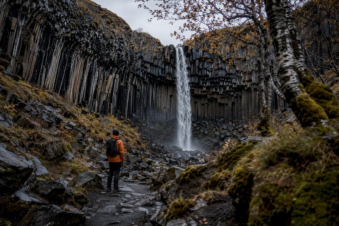
Svartifoss (S2) climbs gradually through birch forest, passing Hundafoss and Magnúsarfoss before reaching Svartifoss, where basalt columns frame the falls in a shape that has inspired several Icelandic buildings. The path is well-trodden and easy to follow, and most visitors treat it as the one hike they will not skip.
S3 and S4 move onto heath and mountain terrain above the forest line. Skaftafellsheiði is a long, rolling loop with little shelter, and Kristínartindar adds scree sections near the summit ridge that demand sure footing and good weather. Both are frequently closed or genuinely impassable in spring, so treat any spring plan for these two as provisional.
Sjónarnípa (S5) is the trail that surprises people: 6.5 kilometers sounds moderate, but the elevation gain is concentrated into short, steep pushes rather than spread evenly. Distance alone does not predict effort here, so budget extra time and expect to work harder than the kilometer count suggests.

S6 links Svartifoss and Sjónarnípa into one route, but some connecting paths are seasonally closed, which can turn a planned loop into an out-and-back. For S6 and the longer M-series routes toward Bæjarstaðarskógur, confirm at the visitor center or on the park map which junctions are currently open before you commit to a loop.
When to go and what might be closed
Snowmelt turns the upper heath and mountain trails to mud each spring, and Skaftafellsheiði and Kristínartindar are often closed until mid-June for exactly that reason. Walking these trails while saturated damages the tundra underneath, so closures here are about protecting the landscape as much as protecting hikers.
Individual trails can also close temporarily outside the spring season. The Austurbrekkur closure for maintenance is a useful example: it affects one section without shutting down the wider park, but it can change which loops are feasible that week.
- Check the park’s warnings page and ask at Skaftafellsstofa Visitor Centre the morning you arrive.
- Confirm Route 1 conditions and the weather forecast before driving in, especially outside summer.
- Build in daylight margin, since shoulder-season days shorten fast and mountain routes take longer than the paved trails near the center.
Safety, glacier etiquette and when to hire a guide
Skaftafellsjökull viewed from S1 is a land trail with no glacier equipment involved, and that distinction matters. Walking onto the ice itself is a different activity entirely: it requires a certified glacier guide and proper gear, never an unguided detour off the marked path.
Statistic callout: Crevasse maps and hazard notices are actively maintained, but recent glacier surges can create new crevasses faster than maps are updated. That gap is the core reason solo glacier travel is never a reasonable substitute for a guided trip.
Morsárdalur and other remote parts of the park have limited mobile signal, so hike in pairs, leave your planned route with someone at your accommodation, and know that help may take time to reach you if something goes wrong.

Pro Tip: Download an offline map before you leave signal range: it works when your phone does not.
Planning your day: maps, timing and gear
Park duration estimates are planning guides, not promises. Add 25 to 50 percent to the published time for photo stops, junction confusion or weather, especially on your first visit to the trail.
- Pack a waterproof shell and warm layers even on a clear morning, since weather shifts fast near the glacier.
- Wear sturdy, broken-in hiking boots rather than trail sneakers on anything beyond S1.
- Carry a map or GPS device and do not rely solely on phone signal.
- Bring more water and snacks than you think you need for the estimated duration.
- Pack a headlamp if there is any chance you will finish near dusk.
- Carry basic first aid supplies, particularly on S3 through S6.
Follow the numbered trail markers rather than cutting corners, since shortcuts damage vegetation that takes years to recover. Set a firm turnaround time before you start, and treat it as fixed regardless of how close the summit looks.
Fox Hostel’s take on timing a Skaftafell day trip
Most South Coast bases put Skaftafell within a couple of hours’ drive, and leaving early is the single biggest lever you have over crowds, parking and daylight margin. If you have booked a glacier walk or ice climbing tour, confirm the operator’s actual meeting point: many gather at a separate car park rather than the visitor center, and guessing wrong costs you the whole slot.
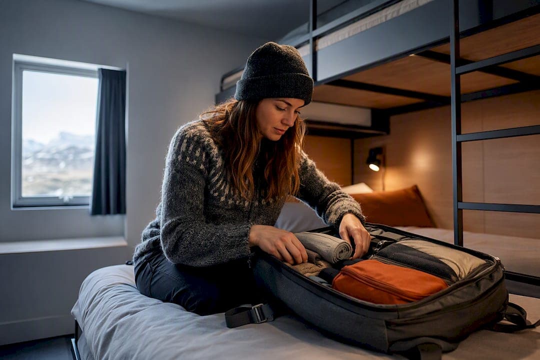
If your group is staging from Vík, grab breakfast before you go, leave bulky luggage behind, and book a group room if you are coordinating shared transport for several hikers heading to the same trailhead.
Book a stay near Vík before your Skaftafell hike
Staying close to Vík shortens the drive to Skaftafell enough to make an early start realistic instead of theoretical, which matters most on longer routes like S4 or S6. There are hostel accommodations on the South Coast offering both shared and private dormitory rooms, suitable for solo hikers and groups.

- Shared and private dormitories for solo travelers, couples or groups, booked through the rooms page.
- Group bookings for parties coordinating a shared trailhead run, arranged via the group booking page.
- Meal options are available nearby to support hikers before and after their trips.
- A partnered rafting adventure for a rest day between hikes.
Check availability and book your room or group stay through the Fox Hostel rooms page before you plan the rest of your South Coast route.
Sources
FAQ
What is the best hike in Skaftafell?
For most visitors, the Svartifoss circuit (S2) is the best overall choice, covering about 5.8 kilometers in around 2 hours past waterfalls and basalt columns. Hikers wanting an easier option can choose the Glacier trail (S1), while those seeking a tougher climb often pick Sjónarnípa (S5).
How long does it take to hike Skaftafell?
Trail times range from about 1 to 1.5 hours for the short Glacier trail (S1) up to 6 to 8 hours for the demanding Kristínartindar route (S4). Park estimates are planning guides, so add extra time for stops, photos and weather.
What are the must-see things in Skaftafell?
Svartifoss waterfall with its basalt column backdrop is the park’s signature sight, reachable via the S2 circuit. The Skaftafellsjökull glacier viewpoint on S1 and the wide views from Sjónarnípa (S5) round out the highlights most visitors prioritize.
Is Skaftafell worth it?
Skaftafell fits a wide range of visitors because glaciers, waterfalls, birch forest and mountain ridgelines are all reachable from a single trailhead. Whether it is worth a full day or just a couple of hours depends on which route you choose and how much time you can give it.
— Siggi